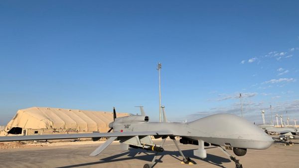
The General Authority for Survey and Geospatial Information held a virtual workshop about unmanned aircraft technologies at the authority’s headquarters in Riyadh.
Specialists in the sector of surveying, geospatial information, and photography attended the workshop entitled, “Unmanned aircraft technologies in the Kingdom: Between legislative challenges and opportunities in quality services.”
A large number of #Saudi military officers have been killed in #Asir by a #Yemeni drone attack including Mansour AlAsmari seen here. This explains #UK-backed #Saudi bombing of #Yemeni capital #Sanaa pic.twitter.com/iJPAmWvwsm
— Ali AlAhmed (@AliAlAhmed_en) November 10, 2021
The GASGI manages the work in the field of surveying, map production, geographic information, and marine survey. It held the workshop to consult clients and beneficiaries about the mechanism for issuing permits for surveying and photography work. Attendees viewed footage of drones and listened to explanations about techniques and uses.
Yemeni Houthis continue the hunt for Saudi drones: in the province of Marib, a Scan Eagle UAV was shot down , #anoncandanga pic.twitter.com/24IZI63E2G
— www.anoncandanga.com?? (@anon_candanga) November 10, 2021
The workshop consisted of seven themes, which included the general overview of the GASGI and the role it plays related to drones and future strategies.
This article has been adapted from its original source.


