


ALBAWABA - New satellite photos released by the Associated Press (AP) showed an earth barrier splitting the Gaza Strip in two.
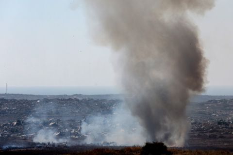
The Israeli army confirmed to AP to have established the barrier, emphasizing that it lies within the "yellow line" area as part of the Gaza ceasefire agreement.
However, the army refused to clarify how long it would remain in place. According to the report, a security zone equipped with intelligence and technological devices was set up around the yellow line, in addition to the barrier itself.
Satellite images reveal the accelerated pace of construction; the barrier, which was only about 500 meters long on July 1, reached 2.4 kilometers on July 10.
Additionally, it reaches all the way from the Rafah area to the Al-Mawasi area, where camps for displaced Palestinians in Gaza reside.
According to the report, if construction continues at the current rate, this section will connect with the longest stretch of the barrier, which will be 17 kilometers long, extending from Khan Younis to Gaza City in the northern Gaza Strip.