
")
ALBAWABA - For the first time in history, people are able to view all buildings on Earth in high quality via a new 3D map that was developed by German scientists.
Scientists at Munich University unveiled the most comprehensive digital representation of the world’s 2.75 billion buildings as part of the GlobalBuildingAtlas project. The project is funded by the ERC Starting Grand.
The GlobalBuildingAtlas was created by a research team at the Technical University of Munich (TUM), and it can be used to benefit advanced climate studies and the implementation of the UN Sustainable Development Goals.
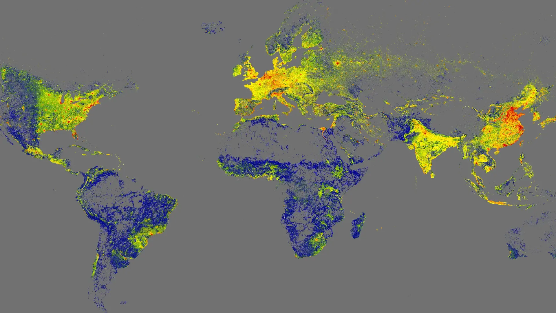
The world's first 3D map with all the billions of buildings on Earth. (Earth System Science Data via Technical University of Munich)
Each building inside the 3D map is showcased at a 3-by-3-meter per pixel resolution, according to the team, and it "provides sufficient precision to estimate height, volume, and structural density."
In addition, the dataset builds on satellite imagery that dates back to 2019. Media outlets detailed that this newly developed 3D map has 30 times better resolution compared to previous global maps.


")
")