
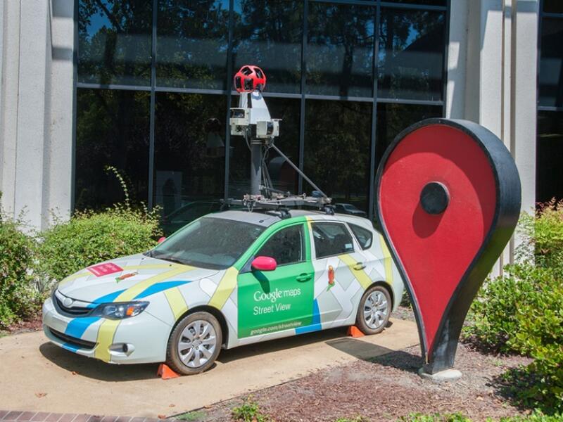
Google Maps have captured more than 10 million miles (16.1 million km) of Street View imagery - a distance that could circle the globe over 400 times. The company announced that Google Earth now lets people browse more than 36 million square miles (93.2 million sqkm) of high-definition satellite images from various providers - covering more than 98 percent of the entire population - to see the world from above ...